
Aerial Services
AERIAL SURVEYS
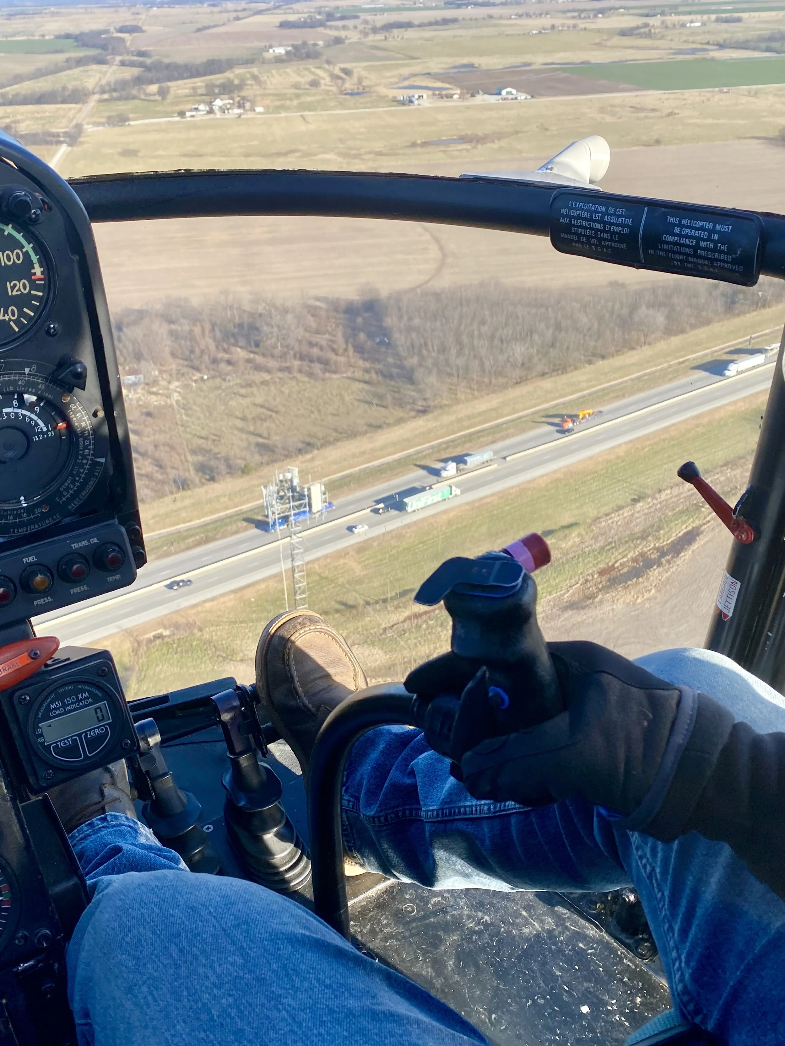
The helicopter is one of the most diverse and practical tools available for aerial survey, imaging and mapping projects. As an aerial platform, it can be utilized for “low and slow” scientific, biological, wildlife, fish, habitat, utility, infrastructure, timber survey, property, land use, agency ERAD, civil engineering, DOT progress & construction status, ecological study and airbourne data gathering.
pHOTOGRAPHY / VIDEOGRAPHY
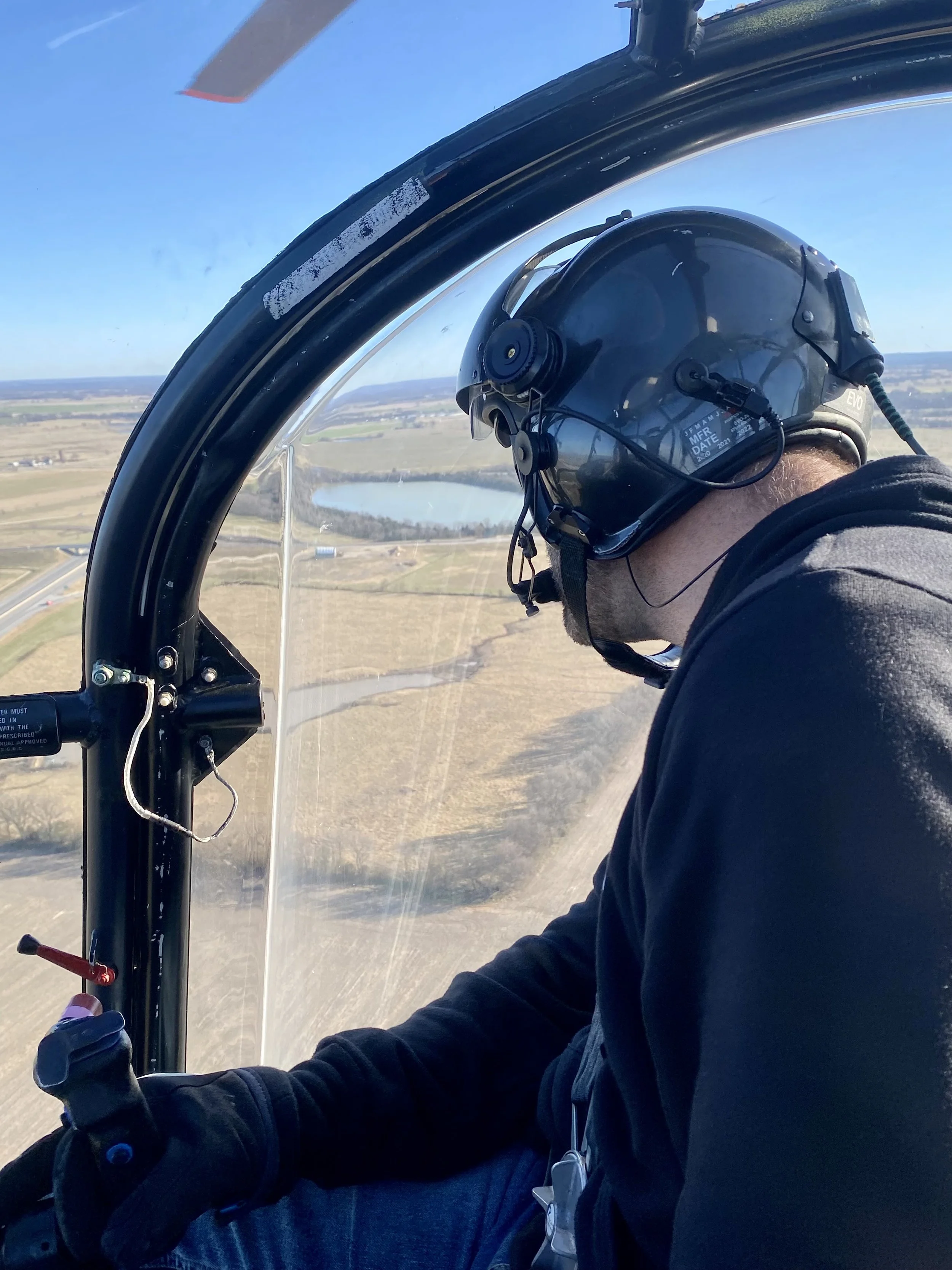
takes the creative collaboration of hundreds of people to create the illusion of being in a different world than our own. The film industry has been immersing us in different realities for more than seven decades, which allows us to temporarily escape the problems in our lives and connect with humanity in a different setting. Filmmakers use helicopters to shoot aerial footage for scenes that require the audience to remove themselves from the action and see things from a wider perspective. Helicopters make the best storytellers in this case since they have the unique ability to travel quickly over terrain but also stop in one location and hover to emphasize particular elements of the landscape. Often, film footage has to be crisp without appearing choppy, requiring a steady hand but also a smooth ride. Our pilots have experience and training to ensure that aerial footage is vibrant and clean.